Our Farm Maps

Farm mapping

Your farm,
on one map.

See paddocks, tracks and farm landmarks in one place. Give everyone on the farm a shared map to work from.

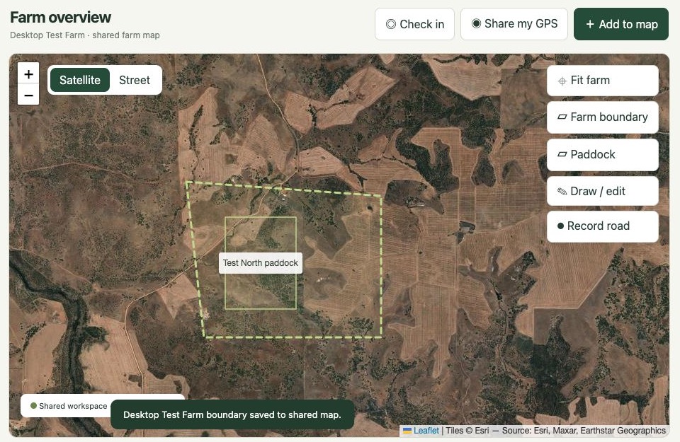
Desktop farm map showing a paddock inside a dashed farm boundary on satellite imagery
Desktop farm map · Demo property

From the farm office to the paddock

Plan from the desktop map and use the phone app to find named places and follow farm directions in the field.
Map paddocks and tracks

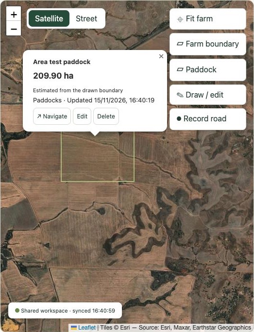
Draw farm boundaries and paddocks, see estimated areas in hectares, and record farm roads.

Mark what matters

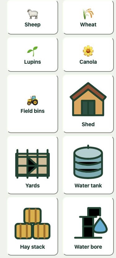
Use recognisable markers for equipment, water points and hazards so your team knows what to look for and where to find it.

Open your farm map

Log in to the app ↗